Browse companies freely. New portfolio additions come exclusively from your daily pack.
Open Source SoftwareEarly Signal
46
Momentum
3
Daily views
1
Pack saves
Momentum rises when people search, view, like, share, claim, or save this profile.
What it does
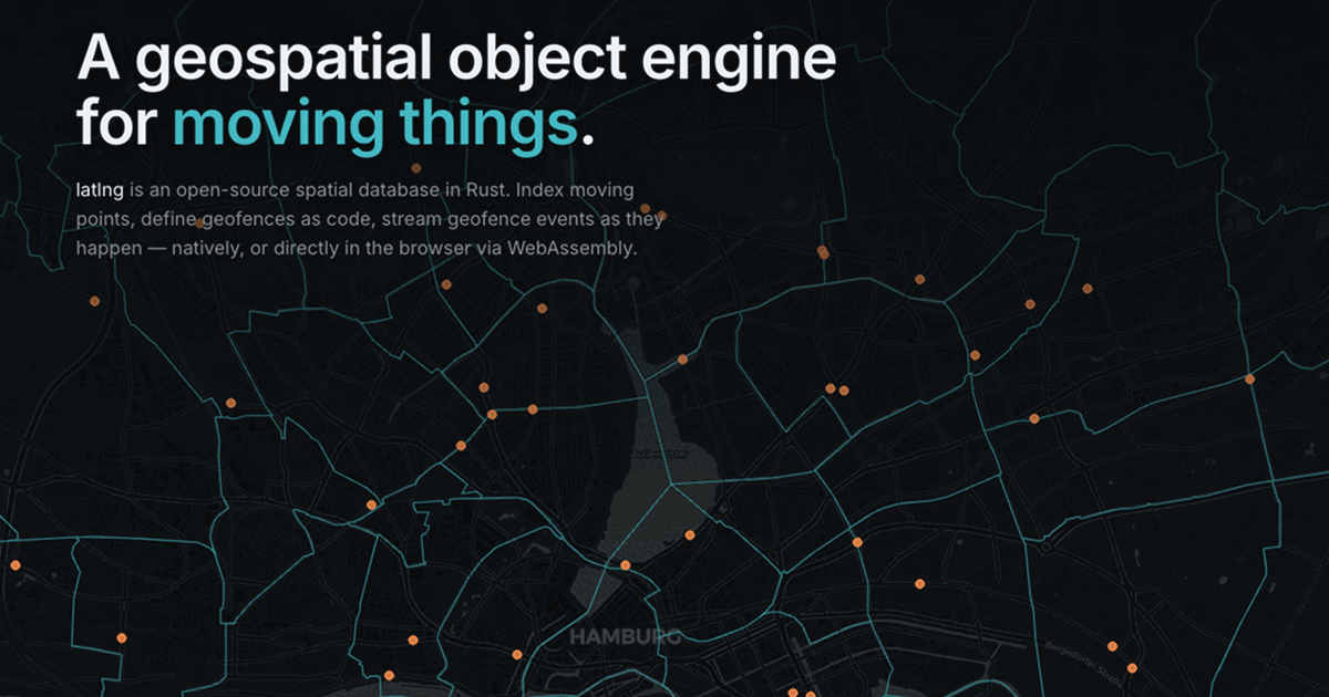
latlng provides a powerful open-source spatial database built in Rust, designed for managing "things that move." It offers R-tree spatial indexing, allows defining geofences as code, and streams real-time geofence events via durable webhooks. The engine supports various transports and can run natively or directly in the browser using WebAssembly, enabling local-first map applications.
Who it helps
Backend and frontend developers, engineering teams, and companies building location-aware applications, IoT platforms, or real-time geospatial services.
Why it's interesting
latlng stands out by bringing a high-performance Rust core to both native and browser environments via WebAssembly, offering a unique solution for local-first geospatial applications. Its "geofencing as code" and durable eventing features address complex real-time location needs, providing a robust, open-source foundation for innovative services.
Profile signals
Signal Score85
Product Clarity95
Founder Momentum80
Market Potential75
Website Polish90
Monetisation50
Shareability80
Buzz20
AI-assisted scores estimated from public website information only.
FounderDeck estimate
Medium confidence
$750k
This FounderDeck estimate of $750,000 reflects latlng's highly polished, open-source developer tool with a clear painkiller use case in real-time geospatial data. The robust Rust + WebAssembly architecture, specific features like geofencing as code, and browser-native capabilities demonstrate significant technical achievement and market potential. The estimate is not higher due to the lack of explicit monetization strategy or public traction metrics on the current page.
Valuation date: 2026-06-05. Estimate generated from public signals.
Portfolio saves
Added to 2 portfolios.
Portfolio saves do not represent ownership, equity, investment rights, IP rights, or affiliation.
Estimates are AI-generated from public information and are not financial advice or verified company valuations.